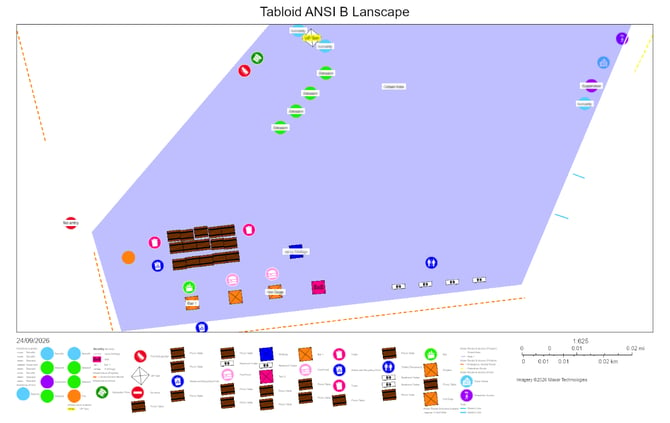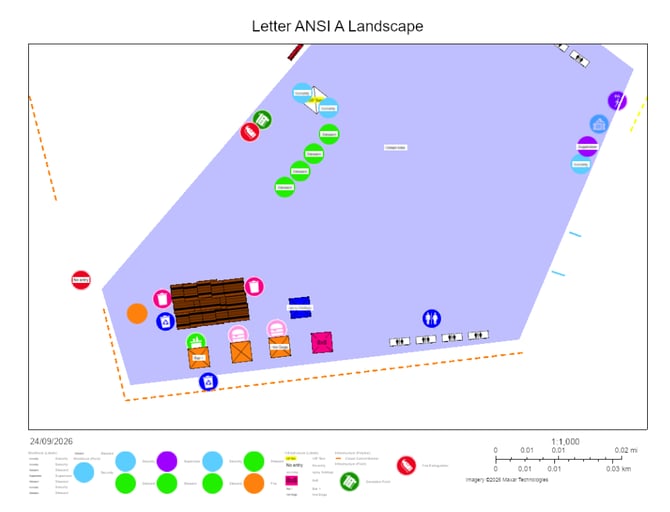
An integration between OnePlan and ArcGIS, allowing you to export an event plan from your OnePlan account directly into ArcGIS. This allows you to continue working on thei map within ArcGIS using both city and infrastructure datasets, as well as other ArcGIS specific details available.
Why:
Without this integration, working on a plan in both OnePlan and ArcGIS means recreating it by hand in ArcGIS, where OnePlan's icons and scaled objects aren't available. Publishing carries your plan over with its objects and styling intact.
In ArcGIS you can use additional data for your event layout such as road closures, utilities, crowd-density data and many others.
Before you start:
In order to use Export to ArcGIS, you need to have:
a) A Team subscription in OnePlan
b) An ArcGIS Online organizational account with permission to create content
- Publishing creates content in your ArcGIS organization, which may use ArcGIS credits.
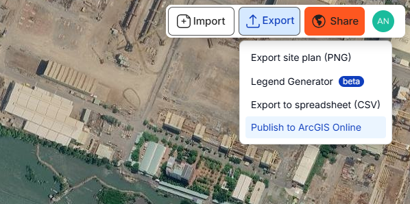
- Open your event plan, go to the Export menu, and click ‘Publish to ArcGIS Online’.
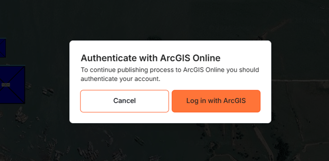
- Click 'Log in with ArcGIS' to log in to your account.
- Enter your user name and password.
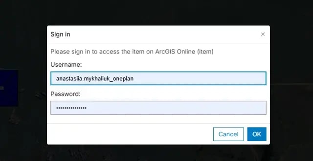
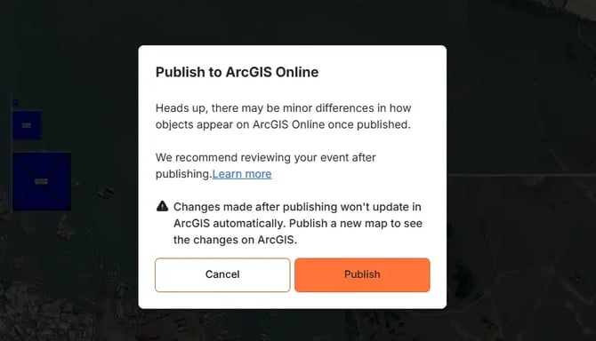
- In the next popup - click 'Publish'
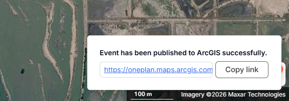
- When you see the success message, click the link to open your plan in ArcGIS, or copy the link to save it.
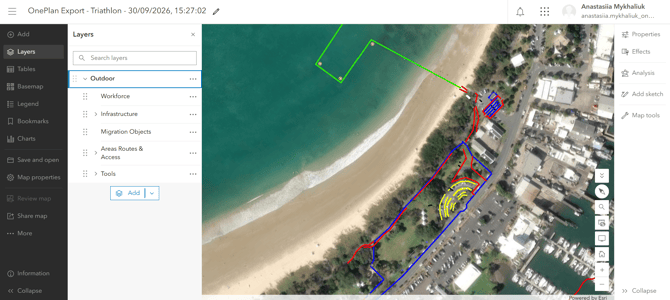
- The link opens your plan as a web map in ArcGIS Online's Map Viewer. From there, you can add layers and data like any other ArcGIS map. You'll find it in 'My Content' section.
- Published maps are Private by default. Before sending the link to others, change the sharing settings in ArcGIS, or they won't be able to open it. To make the web map accessible for others, go to the left panel and click ‘Share map’ => 'Manage sharing'. On the Sharing popup, select the access level.
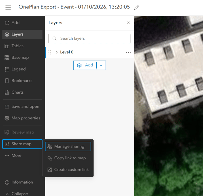
On the Sharing popup, select the access level:
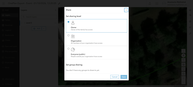
Details:
- Once you publish the event plan to ArcGIS, any changes made back in OnePlan will not be affected in ArcGIS - you will need to publish it again, it will create a new web map in ArcGIS.
- All objects, their size, color, labels and other attributes are preserved.
- Image overlays are preserved.
- If your event plan has more than one level, they will be exported to ArcGIS on the affiliated different layers.
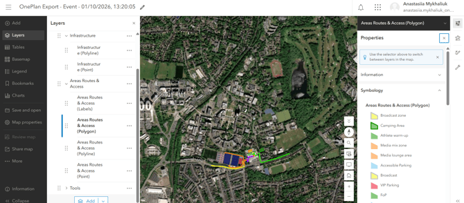
- The OnePlan folders are not carried over. Objects are grouped by category as layers. Open a layer's Properties → Symbology to see its styling.
- All events exported from ArcGIS are also available in ArcGIS Pro.
FAQ:
- What if a user signs up to ArcGIS with SSO instead of login and password?
Current implementation only supports logging in to ArcGIS with email and password. Please reach out to us if you use SSO. - What if a user gets a permission error?
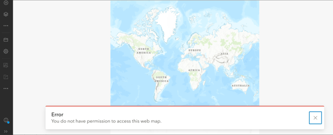
This usually means your ArcGIS account isn't allowed to create content in your organization. To publish from OnePlan, your account needs:- A Creator / Professional / Professional Plus / Administrator user type (or another type that allows creating content).
- An Administrator / User / Publisher role, or a custom role that includes the permission to create, update, and delete content.
Go to your ArcGIS Profile to check your user type and role. If either doesn't match the above, ask your ArcGIS administrator to update your role or license.
- What if a user tries to use an event plan exported from OnePlan in ArcGIS, and something on ArcGIS side doesn’t work as expected?
Within OnePlan to ArcGIS integration, we’re only responsible for publishing the plan to ArcGIS so that it looks the same as in OnePlan (in terms of location, size, color, opacity, labels and other object attributes).
Once the publishing process is done, if something on ArcGIS side does not work properly, please reach out to ArcGIS support.
Example: Export for printing in ArcGIS.
The object size changes depending on the template user selects on export.